
By Daniel Druce and Christian Tottrup
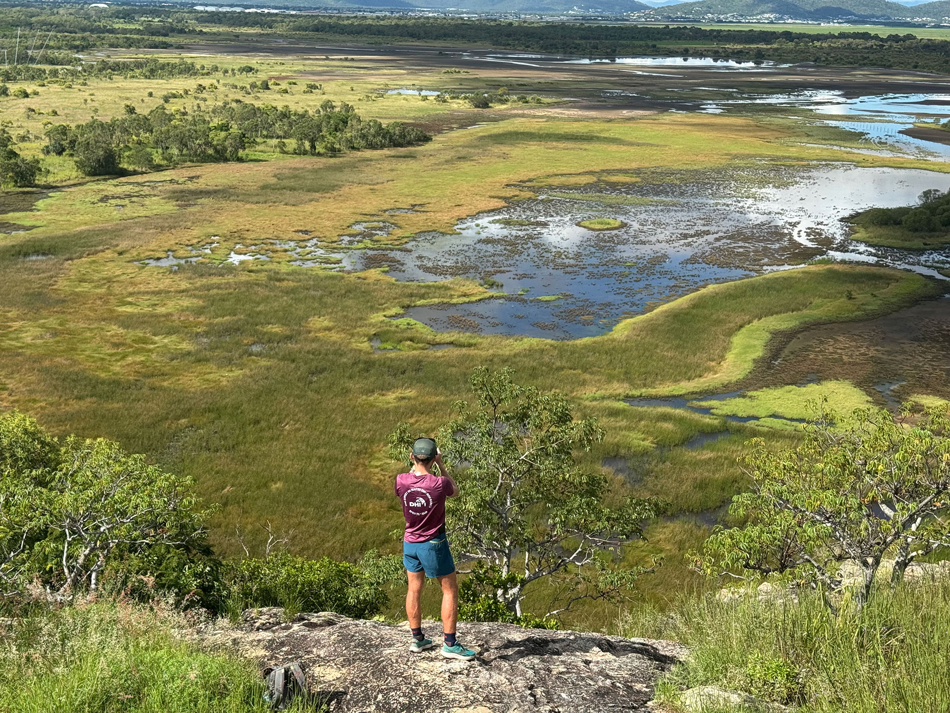
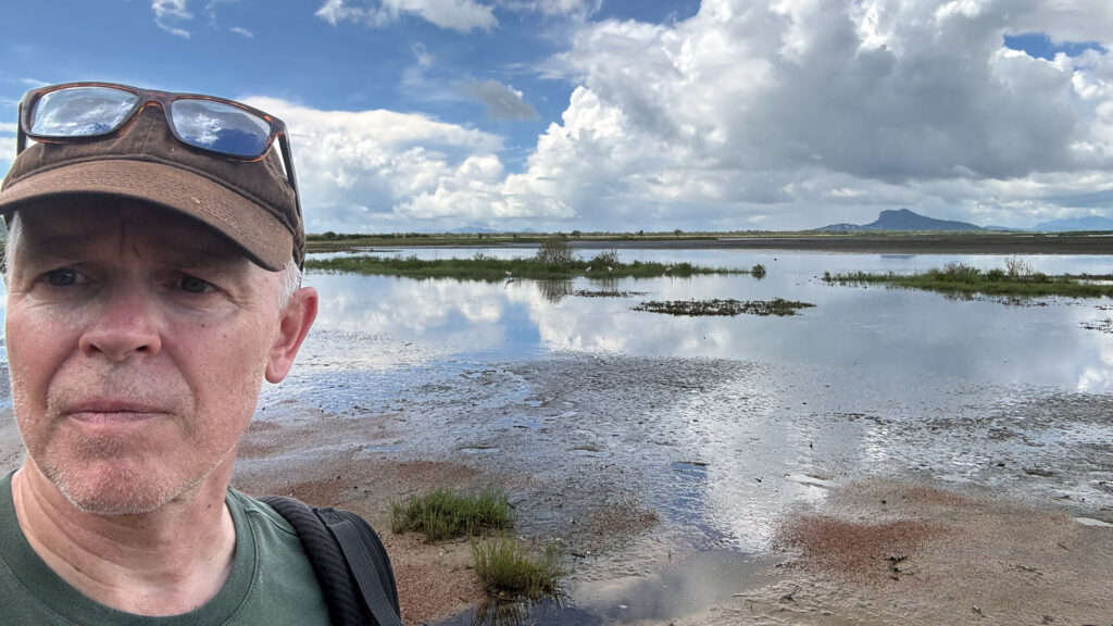
An oblique view of the Townsville Town Common wetlands, Queensland, Australia
Overview:
As part of our ongoing efforts under the Global Wetland Watch (GWW) initiative, we recently undertook a national consultation and coordination visit across Australia. The purpose of this trip was to engage directly with key stakeholders involved in wetland monitoring, policy, and conservation. Through these conversations, we aimed to better understand current practices, data landscapes, and opportunities for national coordination and collaboration.
The GWW trip across Australia involved in-person meetings in New South Wales, Queensland, and the Australian Capital Territory, alongside remote discussions with stakeholders in Western Australia and South Australia.
Stakeholder Engagements:
Meetings were held with representatives from all tiers of government, non-governmental organizations, academia, philanthropic bodies, and independent wetland enthusiasts. Engagements included a multistakeholder dialogue in Canberra with CSIRO, Department of Climate Change, Energy, the Environment and Water (DCCEEW), and Geoscience Australia; 1:1 meeting with the International River Foundation and the Nature Conservancy in Brisbane, as well as full day dialogue with the Global Ecology Lab at James Cook University (Townsville) leading the development of the Global Ecosystems Atlas).
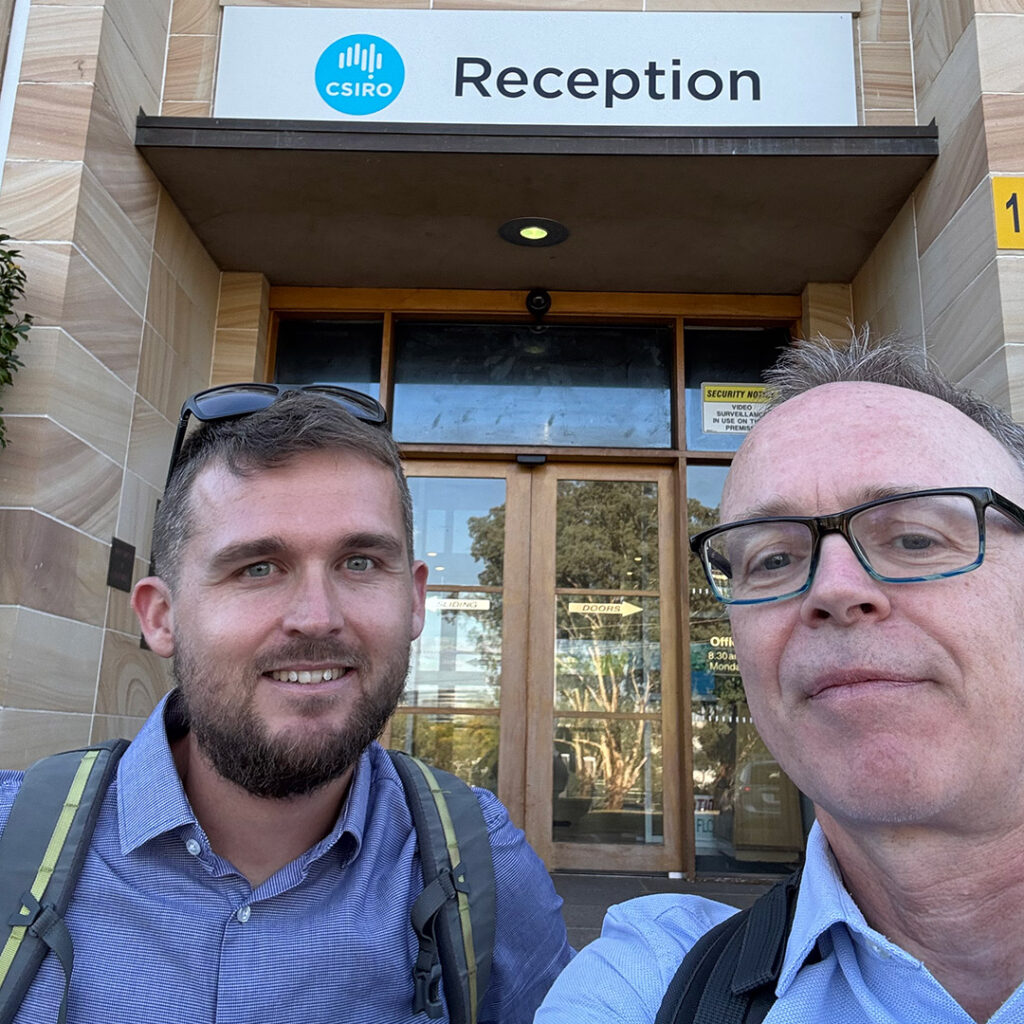
Meeting up at CSIRO office at the Black Mountain Campus in Canberra, Australian Capital Territory.
Key Observations:
- Data Decentralization and Diversity: Australia’s federal system recognizes the autonomy of states and territories, resulting in varied and locally informed approaches to wetland data management. This decentralized structure brings both challenges and opportunities:
- Data formats, inventory methods, and definitions vary across jurisdictions.
- Some states hold comprehensive datasets, while others are still developing or consolidating data.
- Federal agencies and national initiatives face challenges in integrating state-held datasets due to constitutional limitations and differences in data ownership and accessibility.
- Opportunities for Harmonization: There is strong stakeholder interest in exploring a nationally harmonized wetland inventory. Rather than replacing existing efforts, this would aim to:
-
- Provide a consistent national baseline for reporting under obligations such as the Ramsar Convention, SDGs, and national biodiversity targets.
- Enhance interoperability between jurisdictions.
- Support states and territories in inventorying and monitoring wetlands by offering shared tools, frameworks, and capacity-building resources.
- Technical and Institutional Considerations: A national approach must accommodate:
-
- Regional ecological diversity and data needs.
- Variability in institutional capacity across jurisdictions.
- Integration of satellite-based Earth observation tools with local and ground-based knowledge.
- Data that is scientifically accurate, validated, and accepted by experts across relevant fields.
- Open data standards and federated data access models that maintain local control but enable national synthesis.
Collaboration and knowledge sharing
- In Brisbane, we met with Dr Elisa Bayraktarov the Data & Science Manager in The Nature Conservancy (TNC) Australia. TNC works with conservation of lands and waters on which all life depends. One of their goals is to conserve 650 million hectares—a land area twice the size of India— of biodiverse habitats, including wetlands. Maps on the extent and change to critical ecosystem is an important input for evaluating progress towards the target and hence a potential use case for the GWW monitoring system. Although beyond the core scope of GWW, the discussion further evolved to explore how EO data can be useful for other environmental challenges, such as monitoring water quality, restoring shellfish reefs, and evaluating traditional fire management practices through the analysis of fire regimes and burn scars.
- GEO – The intergovernmental Group on Earth Observations – works to improve the availability, access, understanding and use of Earth Intelligence for the benefit of society. One of GEO’s flagship projects is the GEO Global Ecosystems Atlas (GEA), which addresses the challenges of inconsistent, incomplete, and scattered ecosystem data by providing a comprehensive, harmonized, and open resource on the extent and change of the world’s ecosystems. Both GWW and GEA share a common motivation: addressing the lack of environmental data to support national reporting and monitoring obligations under international frameworks (e.g., SDGs, GBF, Ramsar). Ultimately, these efforts aim to drive actions for the protection, restoration, and sustainable use of ecosystems at all levels. A common theme between GWW and GEA is also the use of EO data, Google Earth Engine and the IUCN Global Ecosystem Typology (GET) to achieve global harmonized results. It was therefore a welcome opportunity for us to spend a day with Nicholas Murray and his group at the Global Ecology Lab at the James Cook University in Queensland. Nick and his team have the scientific leadership of developing the Global Ecosystems Atlas. It was an interesting day which helped to shed light on our respective projects. Throughout the day we had good discussions and talked about possibilities of future collaboration to ensure cross-fertilization, maximizing synergies and avoiding duplicating efforts. For GWW, this is especially relevant given JCU’s significant experience and contributions to global mapping of coastal wetlands, including intertidal flats and salt marshes. Similarly, the freshwater ecosystem maps provided by GWW present interesting perspectives for integration into the Global Ecosystems Atlas.
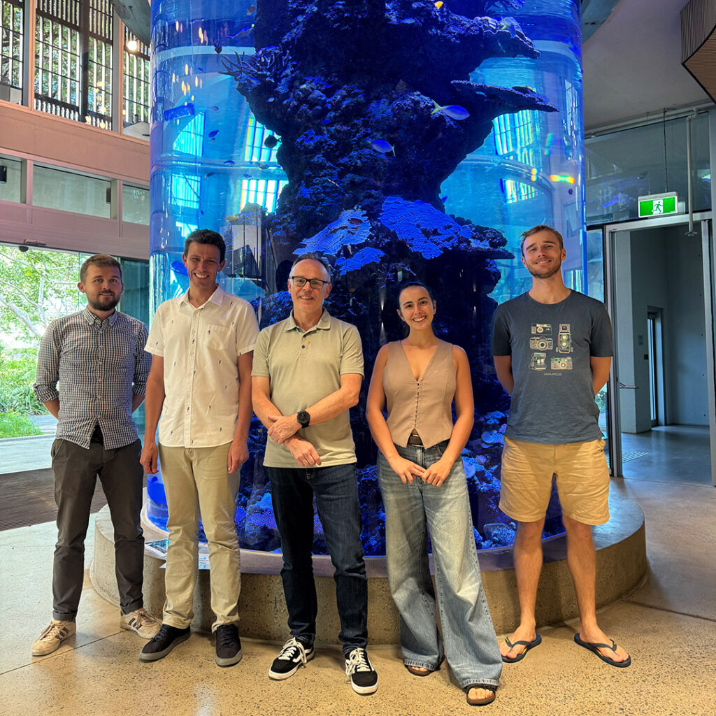
Group photo: The Global Ecology Lab at JCU meets with the Global Wetland Team.
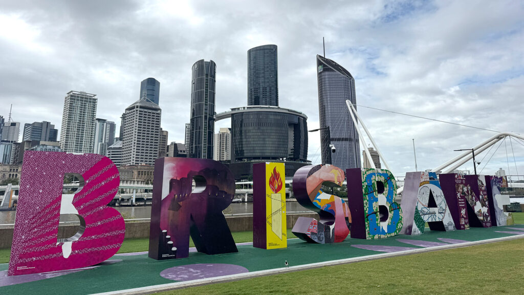
- This year, Australia, and more specifically Brisbane, is an interesting destination for environmental conferences and the GWW trip offered an opportunity to flag our contributions, arrange for new presentations and/or arrange side meetings at upcoming events incl. International Congress for Conservation Biology – ICCB (June 2025), The International Geoscience and Remote Sensing Symposium – IGARSS (August 2025); and the International River Symposium (September 2025). Anyone around for the events and interested in the GWW project and outputs please don’t hesitate to reach out to Daniel Druce for a chat.
Field Observations: During our visit to Australia, we also had the opportunity to explore several noteworthy wetland sites:
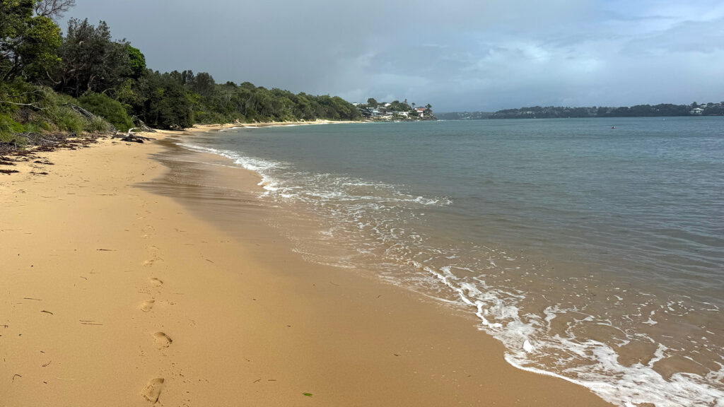
- Southern NSW coastlines: The wetlands along Sydney’s southern coastlines are a vital part of the landscape, blending ecological richness with scenic beauty. Characterized by rugged sandstone escarpments, sandy beaches, and pockets of coastal heath and forest, these ecosystems play a crucial role in stabilizing the climate, sustaining biodiversity, and maintaining the balance of Earth systems. Mapping these coastal and intertidal regions is essential for monitoring environmental change, informing conservation efforts, and supporting sustainable land and marine use in the face of climate change and coastal developments.
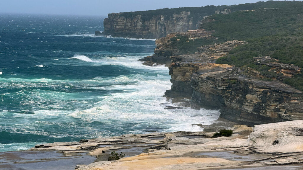
The rugged and sandy coast along New South Wales southern coastline.
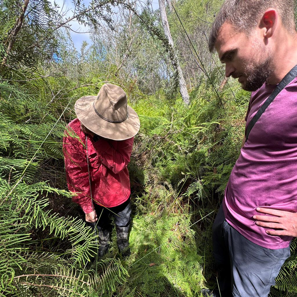
- The Blue Mountain swamps which are unique wetland ecosystems that comprise both valley swamps and hanging swamps. The valley swamps form on sloping sandstone plateaus, where groundwater seeps out to create year-round wet conditions, whereas the hanging swamps literally hang off cliff faces or steep hillsides. These swamps are crucial for biodiversity, hosting rare and endemic species. They also play a vital role as natural sponges, regulating water flow and preventing erosion. Huge thanks to The Bush Doctors for showing the Team around and sharing their experience with swamp restoration and stabilization in Blue Mountains.
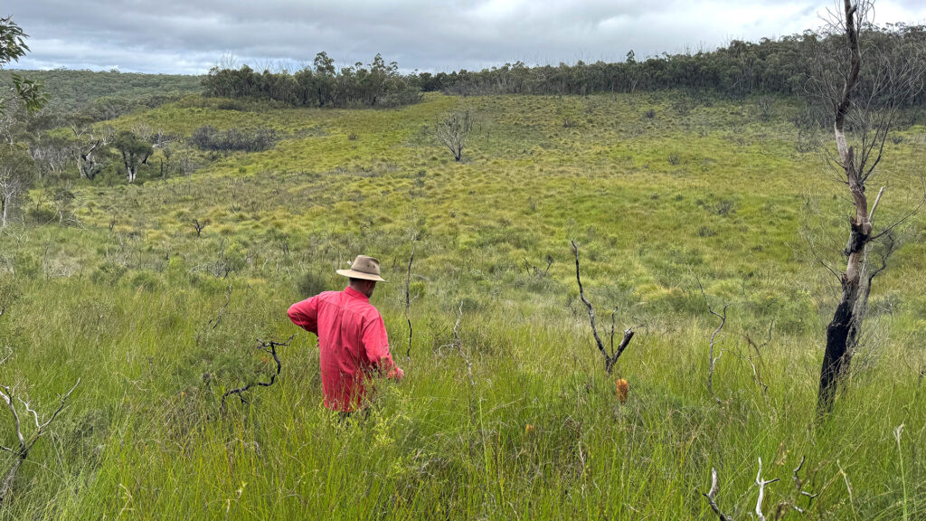
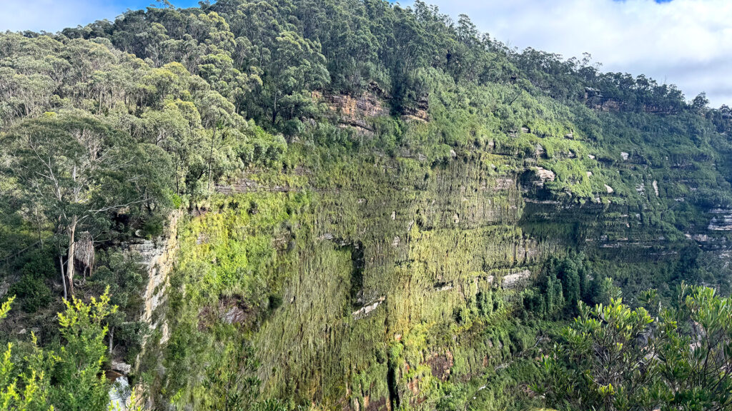
Valley swamps (left) vs Hanging swamps (right) in Blue Mountains
- Townsville Town Common Conservation Park: A large wetland complex where freshwater and coastal ecosystems converge, undergoing dramatic seasonal transformations. Each year, summer rains transform its dry saltpans and grasslands into a vast wetland attracting large flocks of waterbirds. During the dry period, most lagoons dry up and vegetation withers. As wetlands shrink, large numbers of birds migrate elsewhere in search of food and habitat. When the rain returns, the wetlands are replenished, drawing the birds back once more — and so the cycle continues.
Our site visits underscored the ecological complexity of Australian wetlands and highlighted the importance of also being on the ground and integrating local knowledge and expertise in both mapping and monitoring.
Conclusion and Next Steps: The Australian wetland community—spanning scientific, governmental, and grassroots sectors—is highly engaged and technically capable. While decentralized data governance is a structural reality, it also creates an opportunity to co-design a flexible harmonized national inventory that respects regional autonomy while aligning with national priorities and supporting and uplifting national implementations.
In GWW we will continue to collaborate with Australian stakeholders to co-develop technical frameworks and collaborative models that reflect these principles. Lessons learned here may also inform similar efforts in other federated or highly decentralized contexts globally.
The first glimpse of a transformational approach to global wetland monitoring
On World Wetlands Day 2026, Global Wetland Watch (GWW) is sharing a preview of its data, designed to make wetlands more visible, better understood, and easier to track over time,
Reflections from Ramsar COP15: A Young Professional’s Perspective
The 15th Conference of the Parties to the Ramsar Convention on Wetlands (COP15) has just wrapped up.
Shaping Global Wetland Monitoring: Lessons from Down Under
As part of our ongoing efforts under the Global Wetland Watch (GWW) initiative, we recently undertook a national consultation and coordination visit across Australia.
The crucial role of wetlands in South Africa
The Global Wetland Watch was recently in South Africa, advancing global initiatives for wetland management and restoration.
World Wetlands Day 2025 – Protecting wetlands for our common future
On World Wetlands Day, we reflect on the critical importance of wetlands and the urgent need to protect them.
Towards a global high-resolution inventory of wetland typologies
The Global Wetland Watch (GWW) is aiming to fill a critical global data gap by developing and providing a new global-level inventory of wetlands with unprecedented spatial and thematic details.